Alert
Alerts
Description
Map
Ratings and reviews
See around
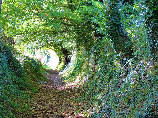
The path from the village to Keralloch
Credit
: Lorient Agglomération
Description
From the end of the Middle Ages, villages started to emerge with the gradual setting up of traffic routes. Some were narrow and connected the villages to the fountains and fields, others were wider and more passable, like this one linking the town to Keralloch. The country folk dug out the central part. Earth and stones were used to build the embankments, which were then planted with trees, here centuries old. They were known as sunken paths not only because of their construction technique. Many of these sloping paths, washed out by the rains, have become so dug out that they sometimes reach several metres in depth and expose the granitic subsoil or veins of underground water.
Technical Information
Lat, Lng
47.8753176-3.315028
Coordinates copied
Altitude
99 m
Point of Interest updated on 25/03/2026
Altimetric profile
Data author

Ratings and reviews
To see around