Alert
Alerts
An agricultural plateau
Description
Farming represents 20% of the economic activity in Calan. More than 50% of the land in the parish is devoted to farming, half of which is for cereal crops and corn, with forage and grassland accounting for a third. Seven of its eleven farms are dedicated to livestock, milk and meat production. The landscape on this plateau bears witness to these activities, but also shows how it has changed since the 1950s.
In the 19th century and until the 1960s, before farming was reorganised and mechanized, there were about thirty plots of land surrounded by embankments on either side of this road. Comparing aerial photographs from the 1960s and the present day reveals the former footprint of the embankments in lighter colours.
In 1843, on the Napoleonic land registry, the combination of wide strips of farmland and thin strips of moorland at mid-slope is a reminder that the moor, with its heather, broom and gorse, was not a useless wilderness, but a resource exploited by farmers for generations. This resource, regularly cleared, uprooted, burned and then reseeded, provided area for grazing, forage and firewood.
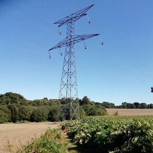
The buzzing above your heads and the pylon are other marks of the changes in our society. They bring electricity to our territory to meet our growing energy needs. In addition to this high-voltage line supplying the Finistère department, another very high-voltage underground line passes through Calan in the east towards the Côtes d'Armor. Calan plays an important role in this scheme with an electrical transformer station installed in an old quarry.
