Alert
Alerts
Irrigated meadows
Description
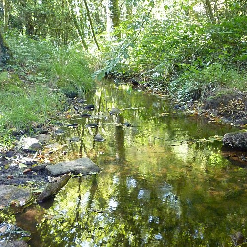
The territory of Calan extends on the other side of the stream. A path from Kerihuel to Poulgourio, already crossed the river here in 1843, probably by a ford, combining a path still visible and stone paving. The Napoleonic land registry also reveals a “stream used to water the meadows” on the left bank. This system, known as “irrigated meadows”, diverted some of the water from the creek at the Hoëh-Coh bridge and led it along a canal to here.
Located over the meadows, the canal watered them thanks to a system of valves and gutters. Already common in Lower Brittany in the 18th century, this system worked in winter. The water warmed the soil, allowing vegetation to start early and an abundant harvest of quality hay. The bottoms of these valleys, now abandoned by modern agriculture, have gradually wooded over. One third of the area of Calan is currently planted.
