Alert
Alerts
In the hollow
Description
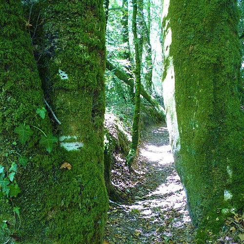
Walking along the embankment hollow, one becomes aware of the incredible network of hedgerows created by farmers from the Middle Ages to the 20th century. Located here, mid-slope between old pastures on one side, and the moor and cultivated plain on the other, this man-made path linked the villages and the fields. It played a significant role as a ditch, channelling rainwater while at the same time limiting erosion.
Sculpting the landscape, the embankments marked out common and private spaces, separated the arable land from the moorland, woods and meadows, thus protecting the crops from free-ranging animals. Various trees planted provided fruit, timber, firewood and handles for tools. Here, one can only admire the more than one hundred-year-old beeches lining and barring the path, like mossy sentinels extending their large tender green branches in spring.
