Alert
Alerts
Er Hoëh-Coh
Description
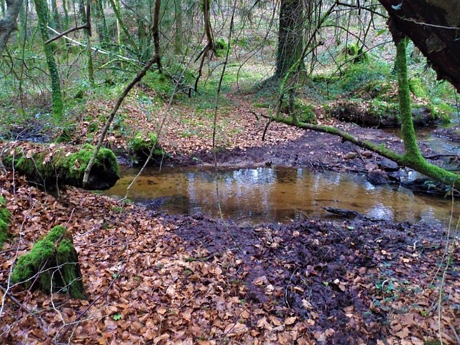
The subsoil of Calan, consisting mainly of hard rock, granite and gneiss, is conducive to a surface hydrographic network. The commune has nearly 3.5 km of permanent waterways and 4.5 km of intermittent waterways. These streams and creeks mark out the territory, the Crano to the north, the Stang-Varric and the Kerollin to the east, the Kergonano to the west. Here, the stream er Hoëh-Coh, fed by several springs gushing towards the town, near Kerbrimot and Kerihuel, flows into the Crano. It is part of the Scorff watershed. The water flowing past you joins the Saint-Sauveur, a major tributary of the Scorff.
In 1843, on the Napoleonic land registry, it was possible to cross the river here over the Hoeh Coh Bridge, also written Hoch Coh, a Breton term whose meaning is unknown. The creek was known as Hoeh Coh Bridge Creek. It may have been a simple ford made of flat stones such as the well-preserved one found a little higher up on the Crano stream, also called the Kergono bridge at the time. It was crossed here by the “path from Plouay to Kerihuel”.
