Alert
Alerts
Description
Map
Ratings and reviews
See around
Drinking water
Credit
: Lorient Agglomération
Description
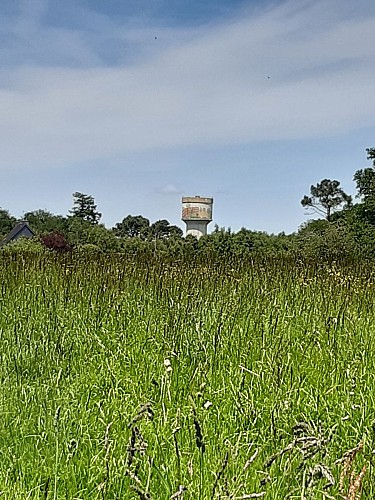
On the horizon, you can see a water tower. It wasn't until 1965-1970 that Bubry acquired its own water catchment system by exploiting the Kerpicaut groundwater table and a brand new pumping station in the 2000s. Today, drinking water is managed by Lorient Agglomeration. Bubry Drinis supplied both by Kerpicaut, protected by a protection perimeter since 1994, and Manébail en Plouay. The rest comes from the SIAPS of Hennebont-Port-Louis, Baud and Ellé.
Technical Information
Lat, Lng
47.9529869-3.1882775
Coordinates copied
Altitude
144 m
Point of Interest updated on 18/03/2026
Altimetric profile
Data author

Ratings and reviews
To see around