Alert
Alerts
The Brandifrout and Davy bridge
Description
Almost 14 km long, the river Brandifrout is a tributary of the Blavet. Lined with sand eroded from the granite bedrock by the water, this well oxygenated river is home to salmon and trout, but also to a very rare shellfish, the freshwater pearl mussel. Living up to one hundred years, this freshwater mussel is under threat by pollution and dams as it needs nitrate-poor waters and Salmonidae to ensure the species survives. The larvae laid by the females stick to the gills of the fish, forming a cyst from which a small mussel hatches.
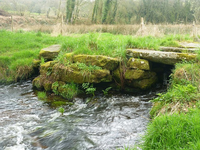
The Davy bridge is comprised of a central pillar and a deck made from huge blocks of granite and dates from the 17th century. It replaced a much older ford or bridge, since this is the ancient pre-Roman road that linked Carhaix to Locmariaquer. Heading up towards Botfau and Locqueltas, you'll be following this ancient route, which then descended towards the sea, passing through the market town of Quistinic, east of Languidic, then through the market towns of Pluvigner, Brec'h, Auray and Saint-Philibert.
