Alert
Alerts
Sunken paths
Description
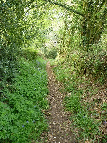
From the end of the Middle Ages, villages started to emerge with the gradual setting up of traffic routes. These routes linked the villages to the fountains, fields, manor, town, and created links between villages. The pathways were created by peasants who dug a trench and used the soil and stones to build the embankments, comprised of dry stones. Planted with trees, they took on their name of sunken paths, as they were eroded over time and dug out by the rains.
This one was specially designed to facilitate the crossing of two carts by creating parking spaces by widening the path. On the right, halfway along, you can even spot a small, secondary semi-circular bypass lane that allowed one of the two vehicles to avoid the other without having to manoeuvre.
