Alert
Alerts
Description
Map
Ratings and reviews
See around
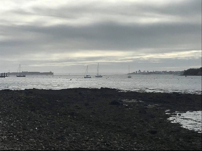
The bay Rade de Lorient
Credit
: Lorient Agglomération
Description
It is a deep-water harbour between Nantes and Brest, enlarged by the estuary of two coastal rivers, the Scorff and the Blavet. Protected natural site, sheltered from the prevailing winds and storms by the island of Groix, the harbor of Lorient has been very frequented since antiquity by French and foreign navigators who released there in bad weather. Then, with the installation of the East India Company in 1666, the harbor of Lorient, opens to the great currents of maritime traffic and trade with the Indies.
Technical Information
Lat, Lng
47.7180775-3.3424187
Coordinates copied
Altitude
2 m
Point of Interest updated on 24/02/2026
Altimetric profile
Data author

Ratings and reviews
To see around