Alert
Alerts
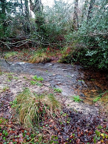
Pont du Couëdic stream
Description
You are walking through the valley of Pont du Couëdic stream, which joins the Kerollin further south towards Kerloguen. Today meandering through the woods, in the 1960s this watercourse was still flowing between wetland meadows used for grazing and hay production. Fed by several streams flowing across the agricultural plain you've just come through, it owes its name to a bridge linking Couëdic Izel to the hamlets of Lanvaudan, but above all to the Couëdic fountain, belonging to the village. To get spring water, the population had to cross over to the Lanvaudan side.
The creek forms the boundary between the two communes. You'll also cross the stream and make a short detour to Lanvaudan. The development of paths requires agreements to be signed with private landowners, sometimes necessitating curious detours. We would like to thank the landowners who allow us to walk across their land.
