Alert
Alerts
From Kerglinec to Couëdic Izel
Description
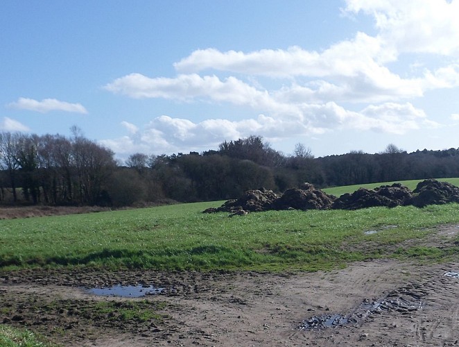
Between Kerglinec and Couëdic Izel, the plain, with its gentler relief, offers a panoramic view of the surrounding countryside. It has changed considerably since the land reforms of the 1960s. Despite 127 km of preserved hedgerows and embankments, Inzinzac-Lochrist has lost most of its bocage network. The embankments were levelled to create vast fields, and the apple trees once scattered across the fields were uprooted. Wide roads were created to facilitate the passage of machinery.
Nevertheless, remnants of the bocage hedgerows remain. Abandoned farming land, such as the former wet meadows you've just passed through, were converted into wet woods. Strengthening old woodland, they help to maintain a green network offering natural corridors for wildlife. Today, forests cover 40% of the village lands.
