Alert
Alerts
Fetan Nidebouille
Description
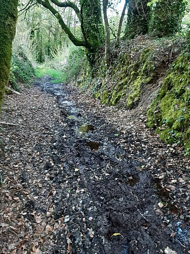
The narrow sunken path that once linked Le Liorzo to Kervénic Izel crosses a small, deep valley where a sub-tributary of the Kerollin flows. Steeply sloping, often wet and muddy, the path serves as an outlet for rainwater from the ridges. In the lower part, a stream meanders between former meadows, now wooded. Flowing into the Stang Varric stream, it rises to the south of the village of Lanvaudan, and in 1843, on the Napoleonic land registry, was called “ruisseau qui descend de Fetan Nébédouille et de la fontaine du Recteur” (stream flowing down from Fetan Nébédouille and the Rector's fountain). There is a spring called Fetan Nidebouille which flows out here. It could be a deformation of “Fontaine Nid de Boue” (nest of mud fountain), but its name was obviously changed, since it was called Fetan Nébédouille in 1843. However, it name could come from the Breton word bouilhenn, which means mud or marsh.
