Alert
Alerts
Kerollin mill stream
Description
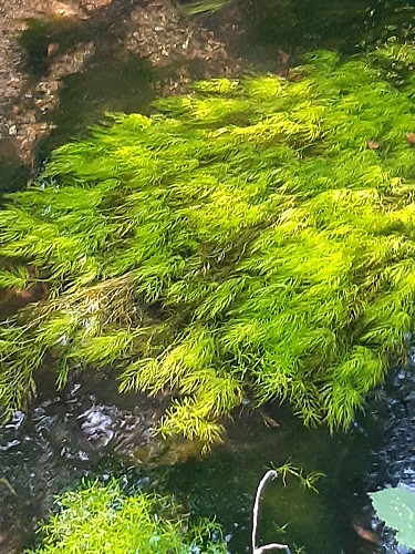
Winding its way through shady trees and sloping meadows, the Kerollin mill stream plays reflects the sun's rays, and is enchanting with its palette of blue, green and gold, and the gentle murmur of its waters, along which grow green aquatic ranunculus and callitriches.
A small tributary of the Blavet, this 9.5 km-long stream rises in the nearby commune of Calan. Linked by the Stang Varric, coming from Inguiniel and Plouay, then by the Pont du Couëdic stream, it feeds the Ty Mat pond before joining the river at Lochrist on the Bunz side. It serves as a natural boundary between the communes of Inzinzac-Lochrist and Lanvaudan, and owes its name to the Kerollin mill, established upstream on its course. This mill was part of the seigneury established in the 16th century at Kerollin en Lanvaudan.
