Alert
Alerts
Piwisy and Primiture
Description
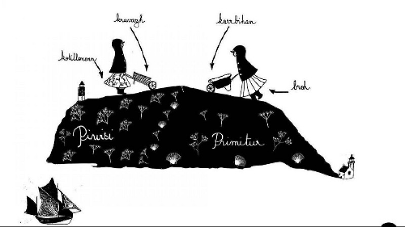
In the 12th century, only the eastern part of the island was inhabited (Locmaria, Lomener, Loctudy), known as the “Primiture”. Little by little, families were sent to cultivate the rest of the island, to the west or “Piwisy”. A document from 1388 details the new farms that eventually became villages: Kerlard, Kervedan, Kerampoulo
It is said that people in Piwisi spoke “gravelec”, a more rustic language. In Primiture, for a long time under ecclesiastical tutelage, people spoke in a more sophisticated way. Elder Groix inhabitants say, “I've known a few boys from the other side who only spoke French, polluted with Breton words. In the eyes of the village children, they were considered backward.”
Life is also easier on the east side of the island, with its plentiful ports and coves, and it grew with the Locmaria fisheries in the 13th century, followed by the Port-Tudy sardine press in 1670. The west was only developed later with tarmac roads and electricity.
So, the idea of two societies took root: one more peasant and rural in Piwisi, the other more maritime and wealthier in Primiture. But men were sailors in both Primiture and Piwisi. And women worked the land wherever they were.
