Alert
Alerts
Description
Map
Ratings and reviews
See around
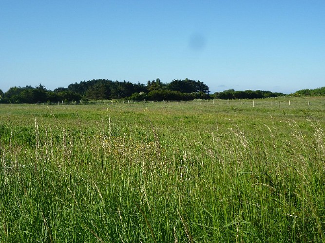
Groix plots
Credit
: Lorient Agglomération
Description
While most men were sailors in those days, women cultivated the land. Following the 1950 land reforms, the island changed landscape but here and there, some remains of its surprising land allocation can still be seen. At the time, the unit of land was the “furlong” (sillon in French), comprised of a long strip of curved land, 3 to 4 metres wide, and measuring around one hundred square metres. The furlongs were grouped by crop, mainly wheat, barley, oats and potatoes.
Technical Information
Lat, Lng
47.6351474-3.4322405
Coordinates copied
Altitude
30 m
Point of Interest updated on 19/02/2026
Altimetric profile
Data author

Ratings and reviews
To see around