Alert
Alerts
Description
Map
Ratings and reviews
See around
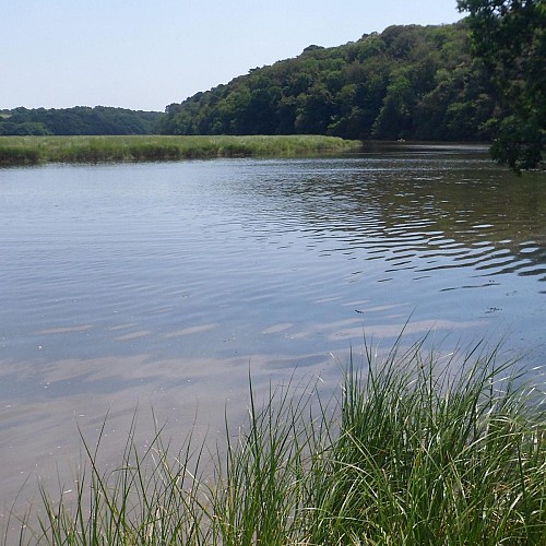
The Scorff Estuary
Credit
: Lorient Agglomération
Description
Rising in the department of the Côtes-d’Armor, the river Scorff flows for 75 km before joining the sea. Nearing Pont-Scorff, the start of its 12-kilometre estuary, it mixes with the rising seawater, and joins the river Blavet in the bay of Lorient. Here and at Le Roze, the influence of the sea is strong, offering a landscape of salt marshes and mudflats. Century after century, accumulating sediment from the river and the sea filled up the valley floor, giving the Scorff its meandering aspect and allowing the mudflats to be colonised by salt-loving plants, called halophiles
Technical Information
Lat, Lng
47.7994849-3.3892983
Coordinates copied
Altitude
2 m
Point of Interest updated on 17/02/2026
Altimetric profile
Data author

Ratings and reviews
To see around