Alert
Alerts
4. At the heart of the battle
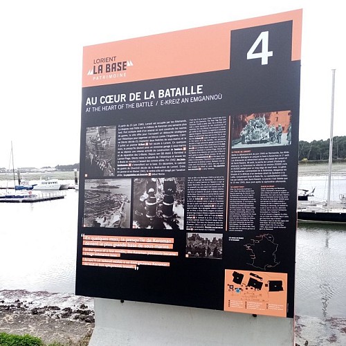
Description
From June 21, 1940, Lorient is occupied by the Germans. The Nazi flag flies on the castle of Keroman a week later. Military port equipped with an arsenal where warships are built, the city offers a strategic outlet on the Atlantic to organize a blockade against England. Admiral Doenitz decides to establish two submarine fleets there and on July 7 a first U-Boot makes a stopover in Lorient. In a few months, the peninsula thus became an immense submarine garage where intense activity took place to build bunkers and repair U-boats. From his HQ established at Kernével in Larmor-Plage, Doenitz leads the Battle of the Atlantic and sends the U-boats in packs to attack English and then American convoys. At the end of 1942, Allied bombings intensified on the base. In December, Churchill’s war cabinet decided to destroy Lorient. Between mid-January and mid-February 1943, the city center is devastated by Allied aviation. The population is evacuated in early February.
