Alert
Alerts
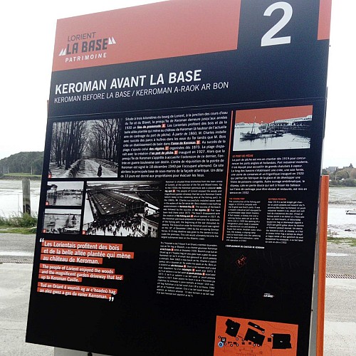
2. Keroman before La Base
Description
Located three kilometers from the town of Lorient, at the junction of waterways from the Ter and the Blavet, the peninsula of Keroman remains until the years 1930 a place for walking. The Lorientais enjoy the woods and the beautiful planted alley that leads to the castle of Keroman (at the level of the current area of careening of the fishing port). From 1860, Mr. Charles installed with success of oyster parks in the waters of the Ter while M. Bois creates a bathing establishment in the cove of Keroman. To the success of the beach is added that of the regattas organized from 1873. The beach disappears with the creation of a fishing port in 1927. While the peninsula of Keroman is preparing to welcome the extension of the latter, the entry into war upends its destiny. The requisition order of the pointe de Keroman is signed on December 18, 1940 by the German occupier. This site will house the main submarine base on the Atlantic coast. A delay of 13 days is given to the owners to evacuate the premises.
