Alert
Alerts
Description
Map
Ratings and reviews
See around
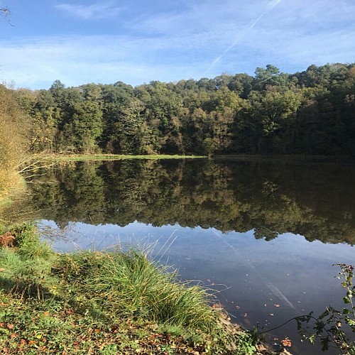
The Ty Mat Pond
Credit
: Lorient Agglomération
Description
Water has always been at the centre of the lives of men who have lived near it and played a role that has evolved over time. Under the Ancien Régime and until the 20th century, the stream of the Kerrolin mill is used for its hydraulic force. In 1835, it feeds the two mills of the Timat, through bypass channels. During the Second World War, the Germans built a dam there, creating an artificial lake feeding water to the Arsenal de Lorient. This device replaced the old water network, known as des Fontaines, created in 1746 by the Compagnie des Indes. Now a pleasure pond, the Ty Mat is now a haven for birds, herons, kingfishers...
Technical Information
Lat, Lng
47.8561647-3.2459235
Coordinates copied
Altitude
52 m
Point of Interest updated on 23/02/2026
Altimetric profile
Data author

Ratings and reviews
To see around