Alert
Alerts
Description
Map
Ratings and reviews
See around
The Blavet
Credit
: Lorient Agglomération
Description
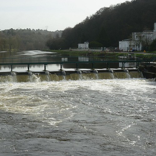
With its 163 kilometers of river, the Blavet takes its source in Bourbriac in the Côtes d'Armor; it flows to Guerlédan where a hydroelectric dam, built in the 30s, forms a lake of 304 hectares. From the 19th century, the river was channeled and the part of the river going to Pontivy is a section of the canal from Nantes to Brest. Up to the gates of Hennebont, bridges, ports and locks were built there, as well as a towpath allowing the movement of goods on barges. This infrastructure will allow the installation of the forges called d'Hennebont, in Inzinzac-Lochrist
Technical Information
Lat, Lng
47.8275696-3.2459557
Coordinates copied
Altitude
10 m
Point of Interest updated on 23/02/2026
Altimetric profile
Data author

Ratings and reviews
To see around