Alert
Alerts
Kerfichant
Description
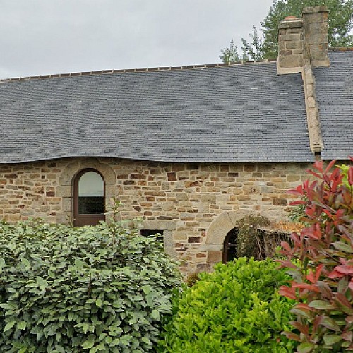
Kerfichant (which means “village of a peron named Fichant”) is a locality that straddled the communes of Lorient and Ploemeur. It was originally a village made up mainly of farms. On Liberation, Lorient asked the prefect to attach to its territory the commune of Keryado and a large part of the commune of Ploemeur from Kerfichant to the Ter, via Lanveur, Kerdiret and Kervénanec. The General Council approved the expansion of Lorient which became effective on 1st October 1947. At the beginning of the 1990s, what was to become the Kerfichant neighbourhood was the last place in Lorient to retain its rural character. This is evidenced by the presence of the last farm in Lorient, located on the rue des Ormes, run by Francis Le Moing, which was still in operation in 1994. There were only a few cows then.
