Alert
Alerts
Cap Canaille
Description
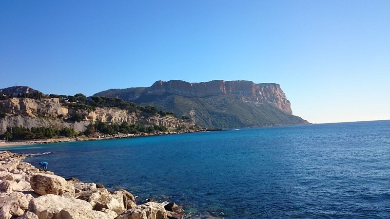
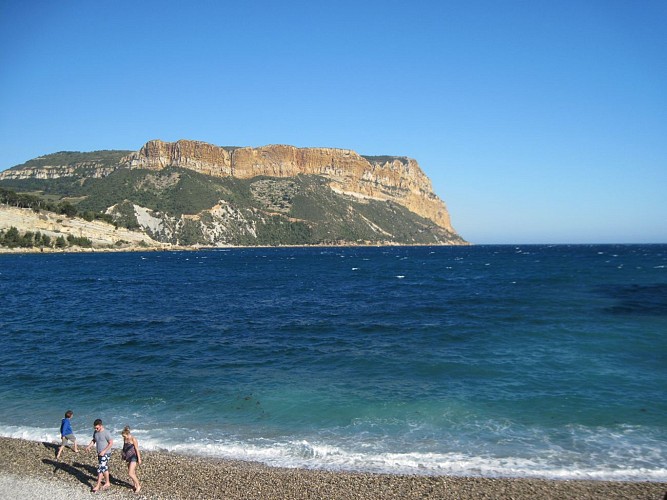
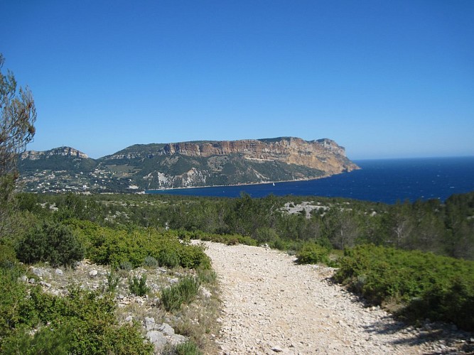
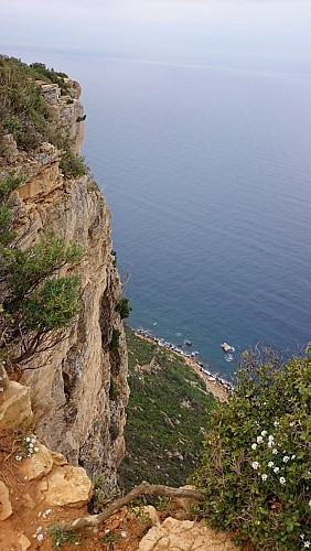
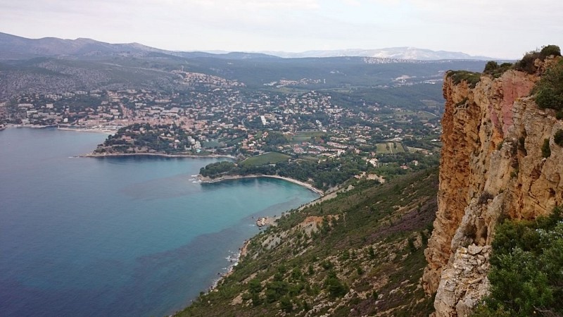
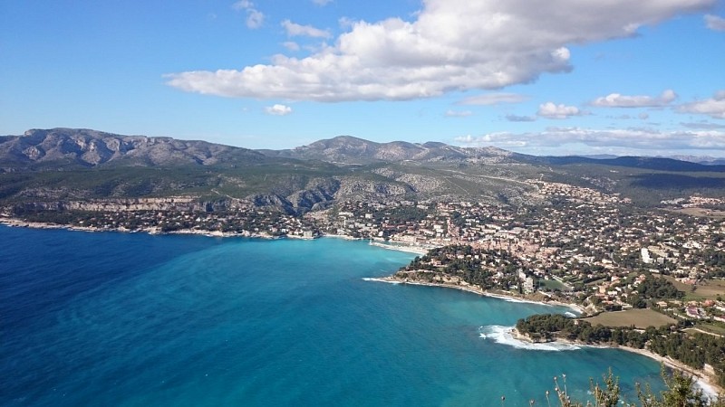
By taking the ridge road between Cassis and La Ciotat, we discover the cliffs of Soubeyran which overlook the coast. The highest point is Cap Canaille (399 meters), the highest cliff in Europe.
The very beautiful route des Crêtes, cut through the limestone puddingstones, leads to Cassis, this famous little village, a former Roman fishing port that has become a lively seaside and climatic resort, in La-Ciotat.
The port of Cassis, a fishing center in the 19th century in the heart of an agricultural basin and a resort center in the early years of the 20th century, is sheltered by the cliffs of La Gardiole and Cap Canaille. The reputation of its hillside vineyards adds to its tourist vocation. Cassis welcomes up to 35,000 inhabitants in summer.
Technical Information
Altimetric profile
Additional information
Price(s)
Free of charge.
Updated by
Provence Tourisme - 28/11/2025
www.myprovence.fr/
Report a problem
