Alert
Alerts
Les Arbres de la Mare Tonne
Description
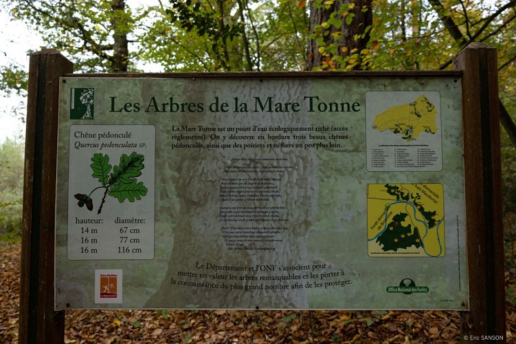
In the field, in front of each remarkable tree, you'll find a sign indicating its characteristics, usually with an explanation of its name or history, as well as a quotation from a writer.
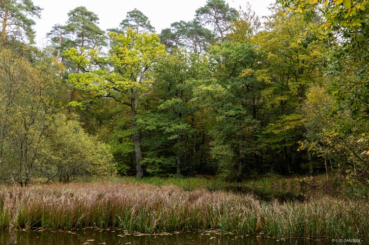
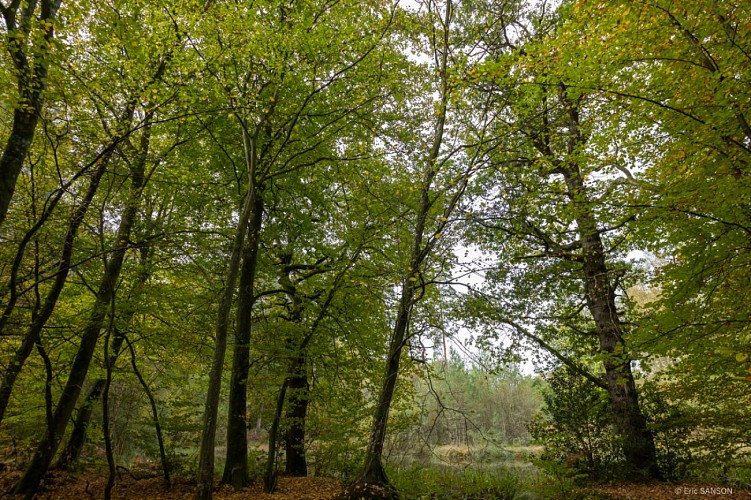
From Saint-Nicolas-de-Bliquetuit, take the RD 40 towards Routot. Approx. 3.5 km after the edge of the forest, park on the right next to the entrance to the Route forestière de l'Hermitage. Walk along this road for about 100 m, then take the small dirt track known as chemin du parapluie for 120 m to the pond. At the edge, you'll see a group of 3 pedunculate oaks, one 14 m high and the other two 16 m high, leaning over the waterhole. Nearby, you'll find some attractive fruit trees (pear and medlar).
Technical Information
Altimetric profile
Additional information
Labels
NORMANDIE
Data producer
This information is provided by Office de tourisme Caux-Seine Normandie tourisme
Contact
Tel : 02 35 39 26 14
Email : ag.rouen@onf.fr
Website : http://www1.onf.fr/enforet/brotonne
Rates
Free for everyone
