Alert
Alerts
Etang de la Queue d'Aronde
Description
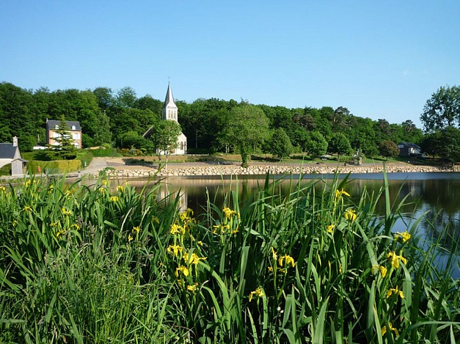
The lake and surrounding land together cover 4 hectares. The lake is known as ‘Queue d’Aronde’ because its shape resembles the tail (‘queue’ in French) of a sparrow that older generations in France once called ‘aronde’.
It covers a surface area of 5.52 hectares. The Corteille (small tributary of the Lembron) passes through this lake at the entrance to the town centre, on the road that leads to Sainte-Honorine-la-Chardonne, opposite Meunier Velay woods.
This body of water is a ‘category 1’ lake. It is used exclusively for fishing: trout are released every Friday evening, roach, tench, carp and eel fishing. The geographic location provides the ideal setting for visitors, to relax, get together and for walks. On-site: fishing, children’s play area, fitness trail, picnic tables, walks.
Technical Information
Altimetric profile
Additional information
Labels
NORMANDIE
Data producer
This information is provided by Orne Tourisme
Contact
Tel : 02 33 98 11 11
Email : mairie.athis-orne@wanadoo.fr
Website : https://www.montagnesdenormandie.fr/
