Alert
Alerts
Marais Vernier
Description
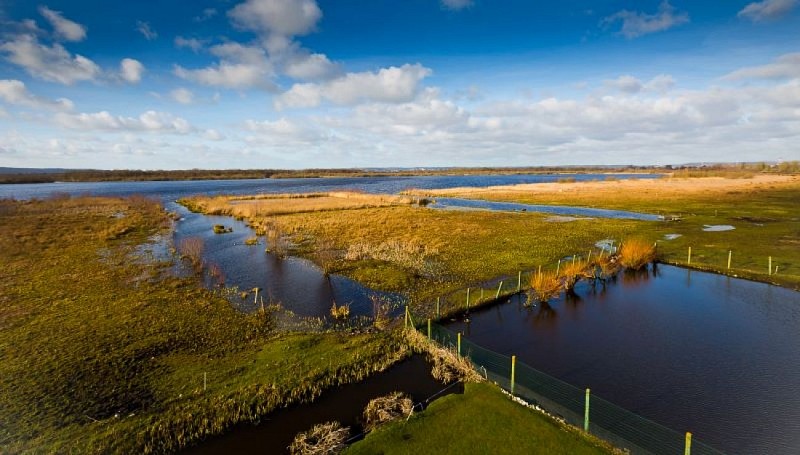
The Marais Vernier forms a 5,000-hectare gulf of plains, cut into the Roumois plateau between Quillebeuf-sur-Seine and Pointe de la Roque. A vast amphitheater formed by an ancient meander of the Seine, the Marais Vernier is a highly distinctive landscape. Settlement is confined to the foot of the cliffs, without invading the wetlands, which are criss-crossed by innumerable canals and ditches leading to the region?s only natural pond, the Grand Mare. The shape of the "courtils", very narrow plots of marsh meadow, and pollard alignments give this area great charm.
Technical Information
Altimetric profile
Additional information
Labels
NORMANDIE
Data producer
This information is provided by Office de Tourisme Roumois Seine en Normandie
Contact
Website : https://www.pnr-seine-normande.com/
Data author
