Alert
Alerts
Mont Tournier

Description
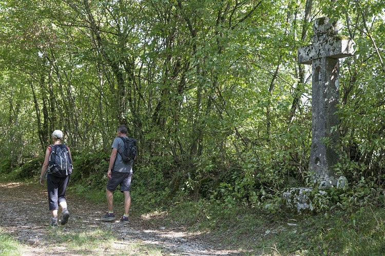
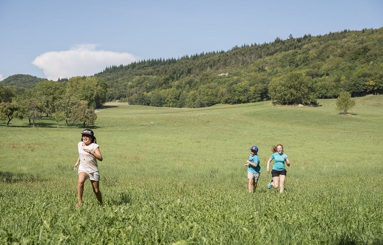
Empruntez le GR65 ou le GR9 et grimpez au sommet du Mont Tournier, à 877m d'altitude. Arpentez la forêt, découvrez les panoramas sur le Rhône puis la Chartreuse depuis ce chainon montagneux de l'Avant-pays savoyard, s'étirant de Yenne à La Bridoire.
Outre les chemins de grande randonnée, de nombreux sentiers sillonnent ce massif, identifié comme zone écologiquement remarquable. Au cours de votre randonnée, si vous êtes suffisamment discret, peut-être croiserez-vous une biche ou un lynx à la tombée du soir. Tendez l'oreille, les oiseaux sont bien présents, notamment le matin ou le soir. Prêtez également attention à la variété de la flore présente.
Les falaises constituées par la montagne dans sa partie sud offrent un magnifique spectacle au coucher du soleil.
Technical Information
Altimetric profile
Additional information
Mis à jour par
Communauté de Communes Val Guiers - 24/11/2025
Signaler un probleme
Période d'ouverture
Toute l'année tous les jours.
Contact
Téléphone : 04 76 31 63 16
Email : info-stgenix@pays-lac-aiguebelette.com
IGN cards


Data author
