Alert
Alerts
Description
Map
Ratings and reviews
See around
Les landes du mont Pinçon


Technical Information
Lat, Lng
48.9709142-0.6114256
Coordinates copied
Point of Interest updated on 08/01/2026
Altimetric profile
Additional information
Labels
NORMANDIE
Data producer
This information is provided by Conseil Départemental du Calvados
Contact
Email : milieux_naturels@calvados.fr
Rates
Free for everyone
IGN cards

1513SB - AUNAY-SUR-ODON VILLERS-BOCCAGE SAINT-ANDRÉ-SUR-ORNE
Editor : IGN
Collection : TOP 25 ET SÉRIE BLEUE
Scale : 1:25 000
13.90€
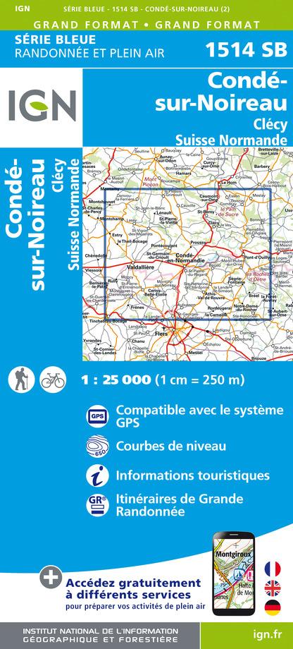
1514SB - CONDÉ-SUR-NOIREAU CLÉCY SUISSE NORMANDE
Editor : IGN
Collection : TOP 25 ET SÉRIE BLEUE
Scale : 1:25 000
13.90€

VEL14 - LA MANCHE A VELO
Editor : IGN
Collection : DECOUVERTE A VELO
Scale : 1:100 000
9.10€
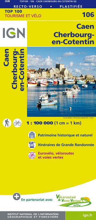
106 CAEN CHERBOURG-EN-COTENTIN
Editor : IGN
Collection : TOP 100
Scale : 1:100 000
8.40€
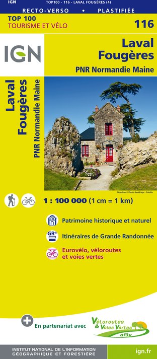
116 LAVAL FOUGÈRES PNR NORMANDIE MAINE
Editor : IGN
Collection : TOP 100
Scale : 1:100 000
8.40€
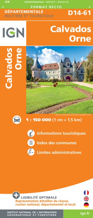
D14-61 CALVADOS ORNE
Editor : IGN
Collection : CARTES DÉPARTEMENTALES IGN
Scale : 1:150 000
5.90€

D50 MANCHE
Editor : IGN
Collection : CARTES DÉPARTEMENTALES IGN
Scale : 1:150 000
5.90€

NR02 NORMANDIE
Editor : IGN
Collection : CARTES RÉGIONALES IGN
Scale : 1:250 000
6.80€

801 FRANCE NORD OUEST
Editor : IGN
Collection : CARTES NATIONALES IGN
Scale : 1:320 000
6.10€

EUROPE
Editor : IGN
Collection : DÉCOUVERTE DES PAYS DU MONDE IGN
Scale : 1:2 500 000
7.00€
Data author

proposed by
Département du Calvados
Caen France
Ratings and reviews
To see around