Alert
Alerts
Description
Map
Ratings and reviews
See around
4 - Prendre à gauche
Description
Quitter la route goudronnée en tournant à gauche, puis tout de suite prendre à droite sur la piste forestière du Thal.
Suivre le balisage VTT orné d'un 4 rouge
Technical Information
Lat, Lng
48.8829567.2949111
Coordinates copied
Altitude
264 m
Point of Interest updated on 04/08/2025
Altimetric profile
IGN cards
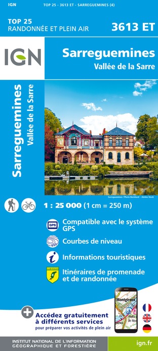
3613ET - SARREGUEMINES VALLEE DE LA SARRE
Editor : IGN
Collection : TOP 25 ET SÉRIE BLEUE
Scale : 1:25 000
13.90€
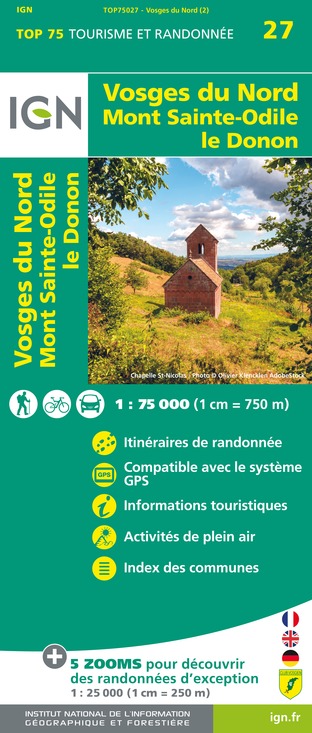
TOP75027 - VOSGES DU NORD MONT ST ODILE LE DONON
Editor : IGN
Collection : TOP 75
Scale : 1:75 000
9.80€

VEL04 - L'ALSACE A VELO
Editor : IGN
Collection : DECOUVERTE A VELO
Scale : 1:110 000
9.10€

TOP100D57 - MOSELLE METZ THIONVILLE PNR DE LORRAINE PNR DES VOSGES DU NORD
Editor : IGN
Collection : TOP 100
Scale : 1:100 000
8.40€

TOP100D67 - BAS-RHIN STRASBOURG HAGUENAU SÉLESTAT PNR DES VOSGES DU NORD
Editor : IGN
Collection : TOP 100
Scale : 1:100 000
8.40€

201 ALSACE MASSIF DES VOSGES
Editor : IGN
Collection : TOP 200
Scale : 1:200 000
6.80€

89032 - LA TRAVERSEE DES VOSGES
Editor : IGN
Collection : DECOUVERTE DES CHEMINS
Scale : 1:100 000
9.10€

88412 - STRASBOURG ET SES ENVIRONS
Editor : IGN
Collection : DÉCOUVERTE DES VILLES
Scale : 1:80 000
5.70€

D54-57 MEURTHE-ET-MOSELLE MOSELLE
Editor : IGN
Collection : CARTES DÉPARTEMENTALES IGN
Scale : 1:150 000
5.90€

D67-68 BAS-RHIN HAUT-RHIN
Editor : IGN
Collection : CARTES DÉPARTEMENTALES IGN
Scale : 1:150 000
5.90€

EUROPE
Editor : IGN
Collection : DÉCOUVERTE DES PAYS DU MONDE IGN
Scale : 1:2 500 000
7.00€

ALLEMAGNE
Editor : IGN
Collection : DÉCOUVERTE DES PAYS DU MONDE IGN
Scale : 1:800 000
7.00€
Data author

proposed by
Office de Tourisme Hanau - La Petite Pierre
La Petite Pierre France
Ratings and reviews
To see around