Alert
Alerts
Description
Map
Ratings and reviews
See around
La Vienne
Description
La Vienne (372 km) prend sa source au pied du mont d’Audouze (en Corrèze) sur le plateau de Millevaches à 920 m d’altitude, et traverse les plateaux intermédiaires puis les bas plateaux du haut Limousin (altitude de 300 – 400 m) avant de sillonner les formations sédimentaires du Poitou et enfin de confluer avec la Loire à Candes-Saint-Martin. Ses principaux affluents sont la Creuse (255 km), le Clain (125 km) et le Taurion (103 km). La Vienne amont, entre Tarnac et Nedde, héberge la Moule perlière (Margaritifera margaritifera). Elle affectionne les ruisseaux et rivières d’excellente qualité, avec des eaux fraîches, courantes et non calcaires.
Technical Information
Lat, Lng
45.70781.87735
Coordinates copied
Point of Interest updated on 30/07/2025
Altimetric profile
IGN cards

2231SB - ROYÈRE-DE-VASSIVIÈRE GENTIOUX-PIGEROLLES
Editor : IGN
Collection : TOP 25 ET SÉRIE BLEUE
Scale : 1:25 000
13.90€
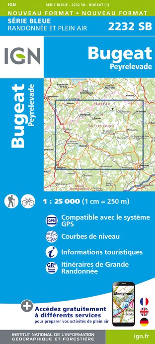
2232SB - BUGEAT PEYRELEVADE
Editor : IGN
Collection : TOP 25 ET SÉRIE BLEUE
Scale : 1:25 000
13.90€

147 LIMOGES GUÉRET PNR DE MILLEVACHES EN LIMOUSIN
Editor : IGN
Collection : TOP 100
Scale : 1:100 000
8.40€

D15-19 CANTAL CORREZE
Editor : IGN
Collection : CARTES DÉPARTEMENTALES IGN
Scale : 1:150 000
5.90€

D23-87 CREUSE HAUTE-VIENNE
Editor : IGN
Collection : CARTES DÉPARTEMENTALES IGN
Scale : 1:150 000
5.90€

EUROPE
Editor : IGN
Collection : DÉCOUVERTE DES PAYS DU MONDE IGN
Scale : 1:2 500 000
7.00€
Data author

Ratings and reviews
To see around