Alert

Alerts

To see around
See more
Open
Close
Show
Show
Show
Show
Show
Show
Show
Show
Show
Show
Show

Oups... It would appear that Cirkwi does not have permission to use your location.

Description
Map
Ratings and reviews
See around

Forêt de Grimbosq

Forêt
Ruisseau-Grande-Vallée-Joël
Forêt-en-bordure-de-l'Orne-
Cabane-d'entrée-Bertrand-Mo
DSC-1001
DSC-1037
Motte-d'Olivet-Bertrand-Mor
Motte-de-charbonnier-Bertra
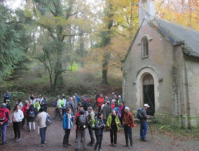
Chapelle
1548684865-2015761558
Credit : G.Wait

Description

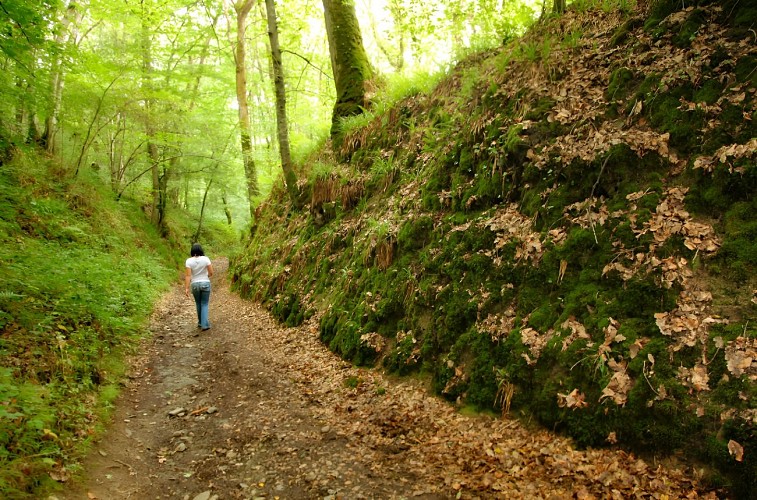
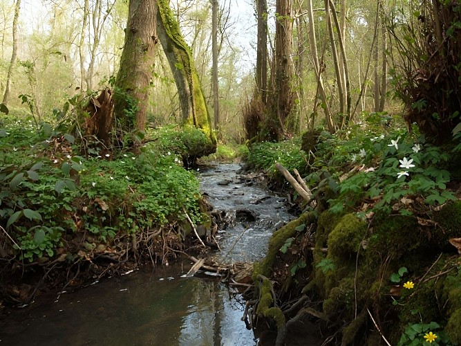
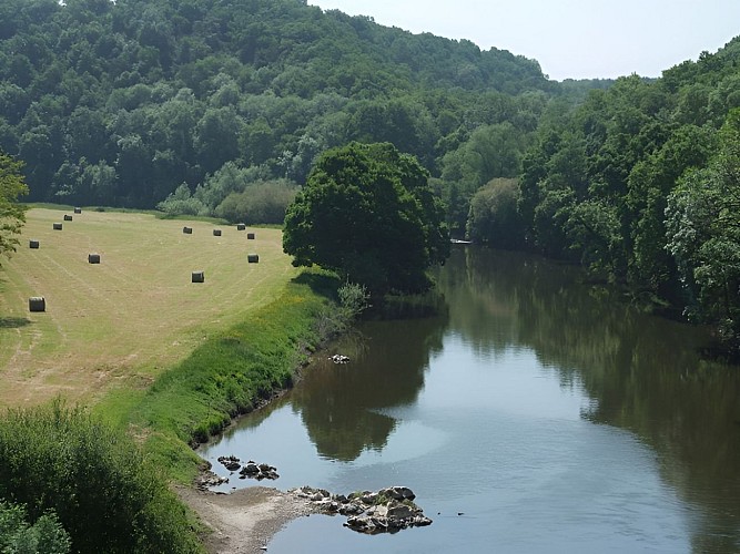
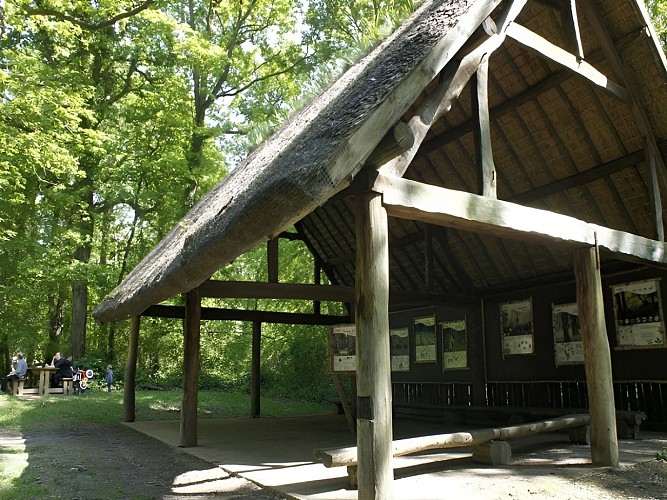
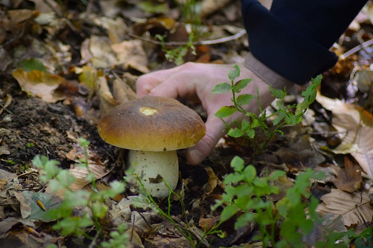
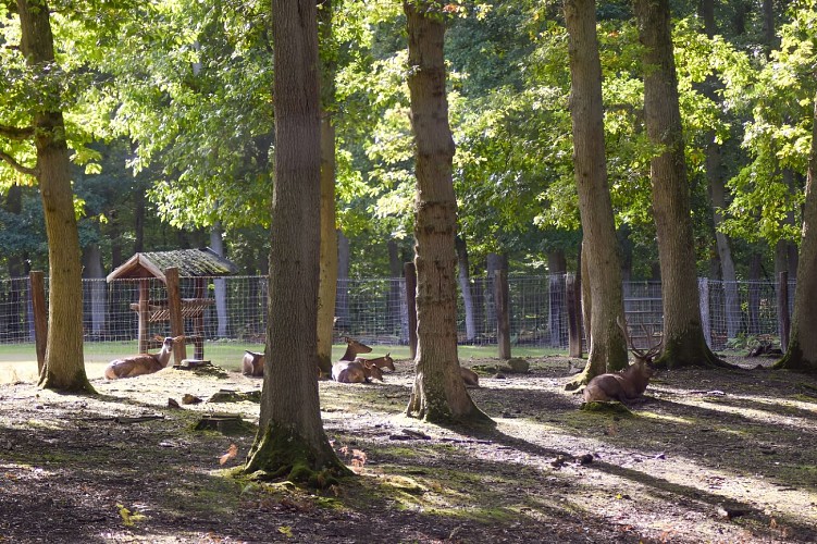
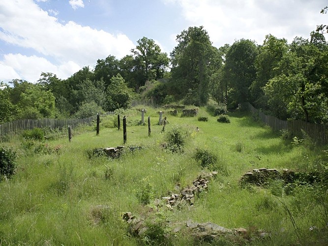
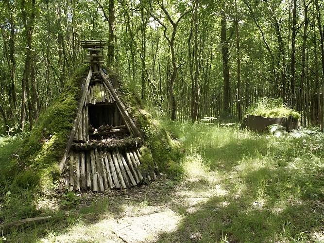
The Grimbosq Forest (covering 475 hectares) is the property of the town of Caen and is located 19km to the south of the town and 7km from Thury Harcourt. Several attractions on site: marked walking routes, picnic area, pond, animal park, arboretums with forest species and special collections, "Olivet" feudal mound (alongside the GR36, archaeological site) and mountain biking route.

Technical Information

Lat, Lng
49.0496919-0.4334299
Coordinates copied
Point of Interest updated on 09/07/2026

Altimetric profile

Additional information

Labels

NORMANDIE

Data producer

This information is provided by OT Suisse Normande

Rates

Free for everyone

Data author

2 Place Saint Sauveur 14220 Thury-Harcourt France

Ratings and reviews

To see around
See more
Open
Close
Show
Show
Show
Show
Show
Show
Show
Show
Show
Show
Show
Caution!
We have no information on the difficulty of this circuit. You may encounter some surprises along the way. Before you go, please feel free to inquire more and take all necessary precautions. Have a good trip! 🌳🥾