Alert
Alerts
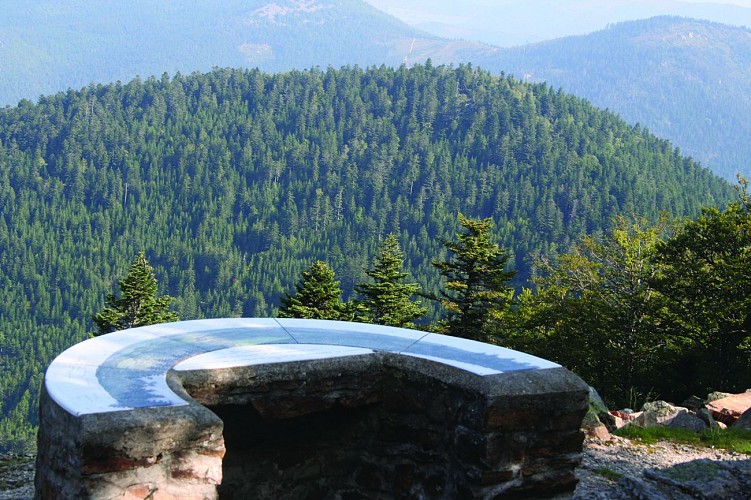
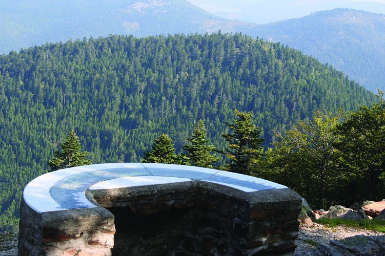
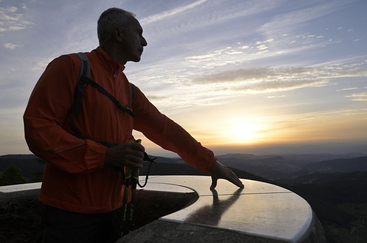
Viewpoint indicator of Monestier
Description
In this village, discover the magnificent Taillard Forest and a viewpoint where you can admire the exceptional views over the Annonay basin, the Belledonne massif, the Ecrins Nature Park and the Aravis range.
You are now in the heart of the Hautes Vallées de la Cance et de l'Ay sensitive natural area.
Beneath the orientation board, you can see a chirat: a pile of boulders covering a mountainside, which was formed during the Ice Age.
Technical Information
Altimetric profile
Additional information
Updated by
Office de Tourisme Ardèche Grand Air - 18/06/2026
www.ardechegrandair.com/
Report a problem
Open period
All year round daily.
Contact
Phone : 04 75 33 24 51
Email : contact@ardechegrandair.com
Website : https://www.ardechegrandair.com/
Facebook : https://www.facebook.com/pages/Office-de-Tourisme-Ard%C3%A8che-Grand-Air/863492700373932
Animals
Yes
