Alert
Alerts
REFUGE DE CHALANCE (FFCAM)
Description
Chalance, the highest of the refuges of the Valgaudemar valley.
Technical Information
Altimetric profile
Additional information
long description
Departing from the gir of the Sap, the hut is perched at an altitude 2 550 meters and welcomes hikers and climbers who came seeking the calm and serene face of an exceptional panorama: North face of the Sirac, pic Jocelme, the Wolf, the banns... pic
Opening dates informations and guarded period
Unguarded shelter
Activities around
ALPINE hiking: col Chalance - pass the Muande - binding refuges of the Olan, the Lavey and Pigeonnier mountaineering: Cime du Vallon - Rouies SPORTS AÉRIENS: see regulation of the National Park of the Ecrins mountains SKI touring: tour of the Rouies - the tip of the Muande - tour of the Olan within 3 days
Nearest car parks
Summer: parking of the gir of Sap winter / spring: the Casset parking
Website
refugedechalance.ffcam.fr
Booking E-mail
refugedechalance@ffcam.fr
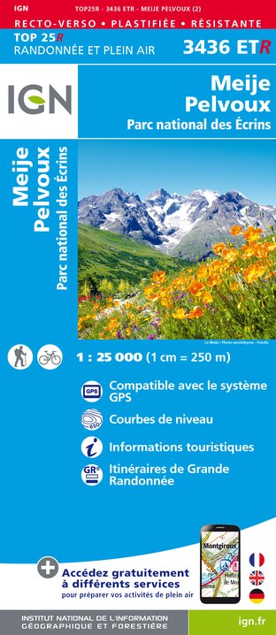
IGN cards


Data author
