Alert
Alerts
Les sources de la Vézère
Description
Source: Longeyroux peat bog, commune of Meymac
Source altitude: 887 m
Length of Vézère river: 211 km
Departments crossed: Corrèze and Dordogne.
Meaning: Vesera in Occitan. From Vizara (Viz or Iz = hollow valley and ara = watercourse) meaning "watercourse in the hollow valley". Another hypothesis is the Celtic word "isara" = "a rapid, impetuous flow (in flood)".
Flows into the Dordogne on the right bank at Limeuil (24).
Dordogne watershed
Anecdote: the Vézère hosted the World Downhill Canoeing Championships in Treignac in 1959 and 2000, and several World Cup races in recent years.
Visible: no, as it's lost in the wetlands of the peat bog. But don't miss the Longeyroux peat bog (the largest in the Limousin region).
Technical Information
Altimetric profile
Additional information
Typologie de site
Lakes, ponds, water bodies, marshland, springs
Infos sur la visite
Conditions de visite : Unaccompanied tours
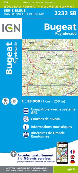
IGN cards


Data author
