Alert
Alerts
Description
Map
Ratings and reviews
See around
La Vienne
Description
La Vienne prend sa source au pied du Mont Audouze et se jette 370 km plus loin dans la Loire. Vous la traverserez sur un pont peu visible au milieu de cette grande zone humide où se rejoignent plusieurs ruisseaux. Quelques kilomètres plus loin, avant le village de Chabannes, vous passerez la ligne de partage des eaux entre la Vienne et la Vézère, cette dernière se jetant dans la Dordogne.
Technical Information
Lat, Lng
45.68542.0769
Coordinates copied
Altitude
812 m
Point of Interest updated on 07/12/2024
Altimetric profile
IGN cards
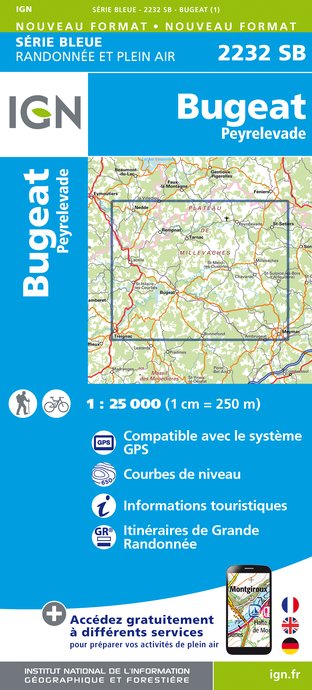
2232SB - BUGEAT PEYRELEVADE
Editor : IGN
Collection : TOP 25 ET SÉRIE BLEUE
Scale : 1:25 000
13.90€

147 LIMOGES GUÉRET PNR DE MILLEVACHES EN LIMOUSIN
Editor : IGN
Collection : TOP 100
Scale : 1:100 000
8.40€

D23-87 CREUSE HAUTE-VIENNE
Editor : IGN
Collection : CARTES DÉPARTEMENTALES IGN
Scale : 1:150 000
5.90€

D15-19 CANTAL CORREZE
Editor : IGN
Collection : CARTES DÉPARTEMENTALES IGN
Scale : 1:150 000
5.90€

EUROPE
Editor : IGN
Collection : DÉCOUVERTE DES PAYS DU MONDE IGN
Scale : 1:2 500 000
7.00€
Data author

Ratings and reviews
To see around