Alert
Alerts
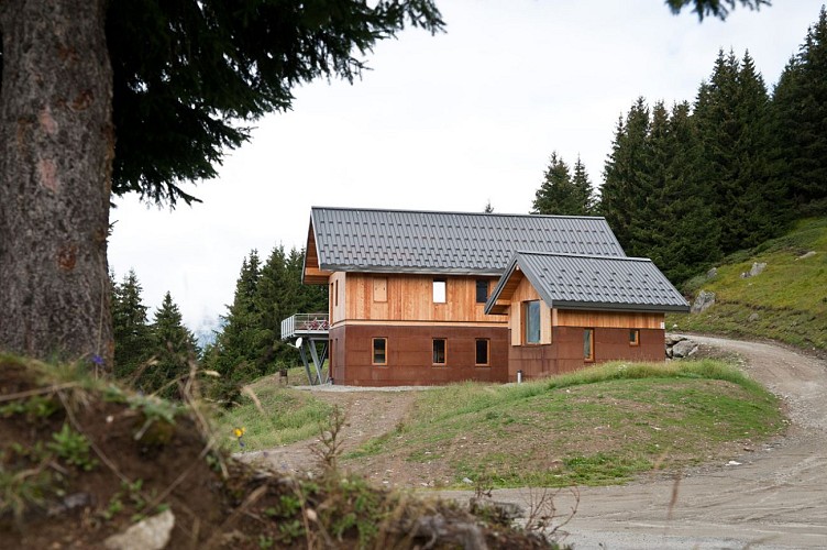
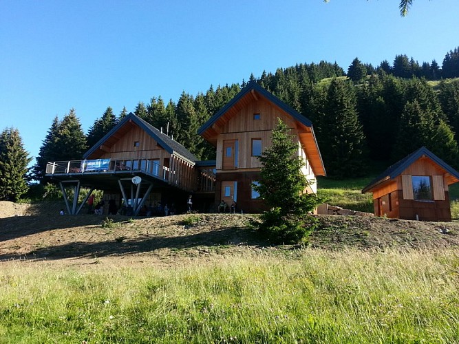
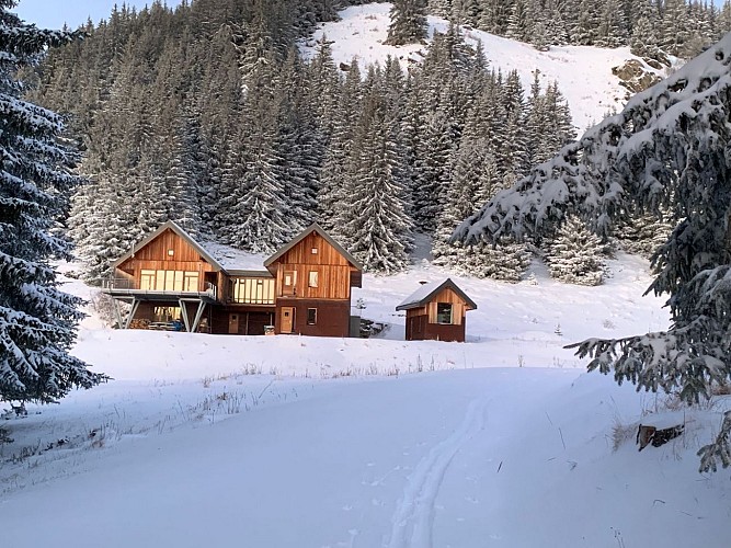
La Grande Léchère lake refuge
Description
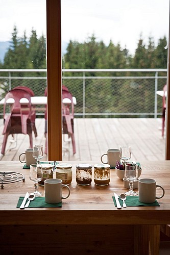
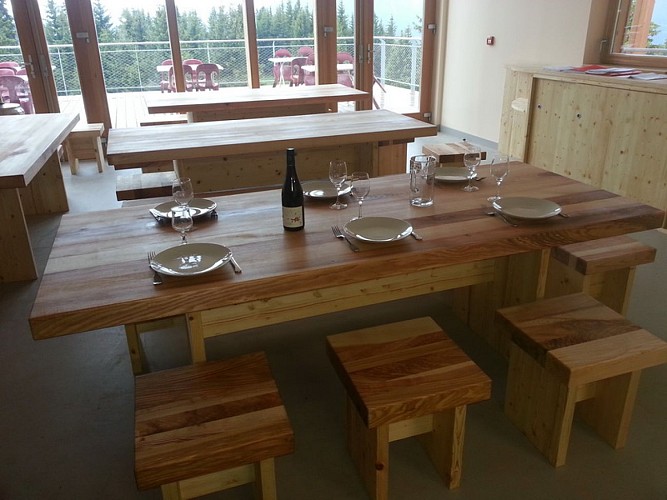
Traditional cuisine homemade with à la carte dining at lunchtimes and set meal in the evenings, accompagned by an unusual wine menu, to be consumed with moderation.
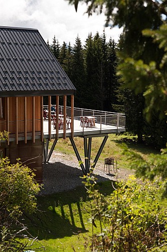
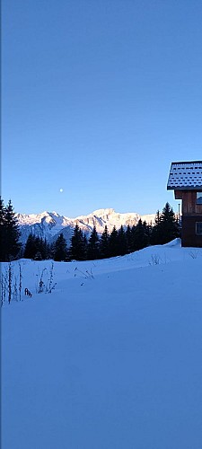
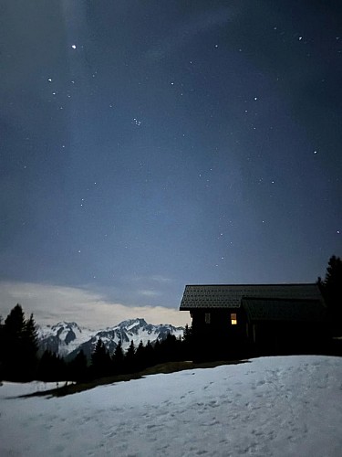
View of the Belledonne massif, the Etendard and the Aiguilles d'Arves.
During the day, we also serve food between 12 noon and 2 pm, and at any time for a snack, a beer, a coffee…
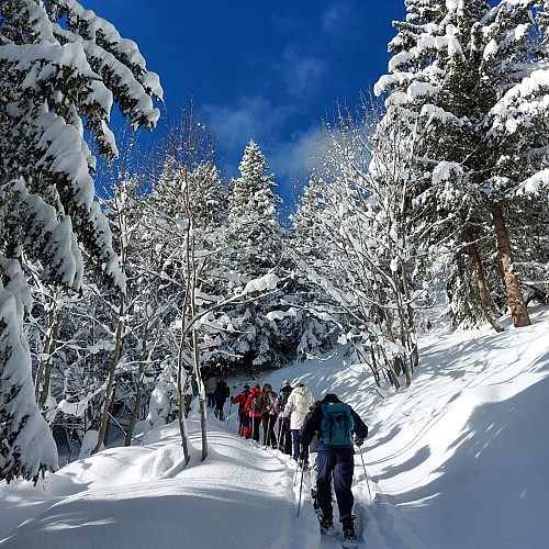
In winter: Come from Saint François Longchamp in 2½ hours on snowshoes or ski touring gear, or from the hamlet of Le Mollaret in Montgellafrey in 1½ hours.
In summer: A 2-hour walk from Saint François Longchamp (Replat) or Montgellafrey, or a 5-minute walk from the refuge car park. Starting point for a wide range of hiking routes and trails suitable for all abilities. Do take a moment to try out our orienteering courses (free of charge).
Home-cooked meals made with fresh produce.
Please remember to book in advance for lunch or an overnight stay, and make sure you bring a cheque or cash as we do not accept credit cards at the refuge (poor mobile signal).
Technical Information
Altimetric profile
Date and time
- From 17/10/2026 to 02/11/2026
- From 19/12/2026 to 03/01/2027
- From 04/01/2027 to 05/02/2027
- From 06/02/2027 to 07/03/2027
- From 27/03/2027 to 29/03/2027
- From 01/05/2027 to 31/05/2027
- From 01/06/2027 to 30/06/2027
Additional information
Updated by
Office de Tourisme de Saint François Longchamp - 11/09/2026
saintfrancoislongchamp.com
Report a problem
Contact
Phone :
06 61 16 97 31
04 58 17 75 70
Email : refuge.lac.grande.lechere@gmail.com
Website : https://www.refuge-lac-grande-lechere.com/
Facebook : https://www.facebook.com/refuge.montgellafrey
Location complements
From Saint François Longchamp, setting off from Les Perelles or the Lauzière chairlift, via the Praz forest or the Maxet ridge.
From Montgellafrey, from the hamlets of Le Mollaret or Le Preney; in summer, the nearest car park is a 10-minute walk from the refuge; in winter, the road is cleared of snow as far as Le Mollaret, after which it takes about 1½ hours on skis, snowshoes or on foot, depending on conditions.
From La Chambre on foot (about 3½ hours).
It is possible to cycle up to the refuge on a road bike for 8 out of 12 months, with some lovely hairpin bends and gradients of up to 13 per cent.
In winter, please ring us to find out about snow conditions and the accessibility of the various routes.
