Alert
Alerts
Le Mugron, natural site

Description
Le Mugron, located in the village of Gauriac, extends over a surface of 23 km2.
At the edge of the estuary of the Gironde, site of Le Mugron proposes multiple paths convenient to the hike or for cycling.
If the site of Mugron is very appreciated, it is because it offers you a point of view dominating the largtest estuary of Western Europe with its islands. But it is also because it takes advantage of a sunny microclimate and shielded from the wind, so offering you the discovery of Mediterranean botanical species.
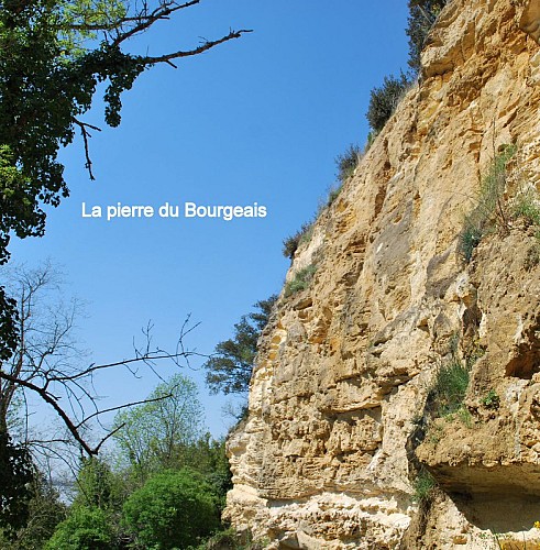
The hillsides of Le Mugron also shelter subterranean galleries, fruits of the extraction of the stone during the last centuries. In its feet, discover the ledge road, peaceful flowery road where from we can admire the troglodytic housing environments. Ask us our Discovery routes "Along the estuary" to enjoy better Mugron.
Technical Information
Altimetric profile
IGN cards


Data author
