Alert
Alerts
Description
Map
Ratings and reviews
See around
Augan
Description
Le bourg d'Augan est à 700 m de la voie verte. Pour y accéder vous pouvez suivre le balisage de la boucle de randonnée des rosaies (balisage jaune - n°7).
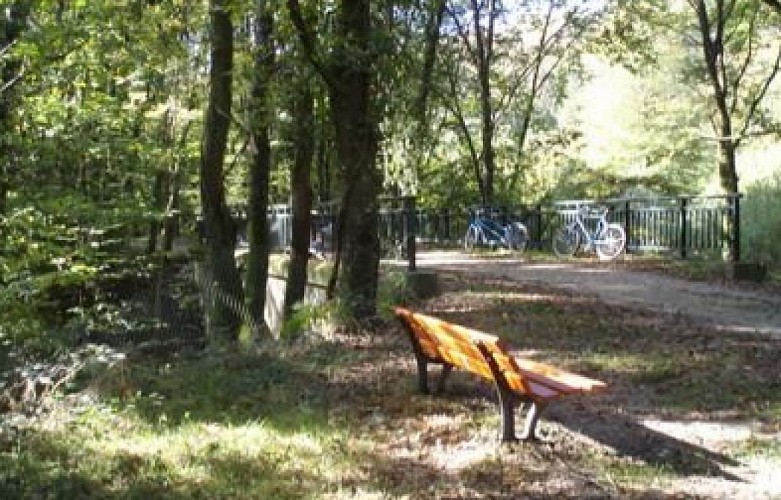
La campagne d'Augan est vallonnée. On y trouve bois, landes, prés et champs. Elle est traversée par la rivière l'Oyon. Le sous-sol contient du schiste ardoisier.
PATRIMOINE ...
Les anciennes chapelles, dont les plus remarquables : le BINIO, sainte ANNE et GERGUY.
Les sentiers de randonnées et circuits pédestres, l’allée couverte de la COUDRAIE.
L’étang des ROSAIES, d’une superficie de 3 hectares, ouvert aux pêcheurs, aux abords aménagés avec terrains de boules, jeux pour enfants, aires de pique-nique ombragées
Technical Information
Lat, Lng
47.910927797834-2.2806248065702
Coordinates copied
Altitude
59 m
Uncertain state
Point of Interest updated on 01/01/1970
This point of interest hasn't been updated recently, which could compromise the reliability of this information. We recommend that you inquire and take all necessary precautions. If you're the author, please verify your information.
Altimetric profile
Data author

Ratings and reviews
To see around