Départ
Description
De la place, passer derrière l’église (GR®65). Tourner à gauche et aussitôt après à droite pour prendre un chemin caillouteux montant sur la crête. Virer à 90° à droite sur une petite route sur 350 m. Poursuivre tout droit sur un chemin herbeux entre des clôtures jusqu’au carrefour du Poteau (D 904 et D 42). Continuer en face sur la D 42 direction « Espeyrac » sur 600 m. Obliquer à droite sur un chemin de terre conduisant aux Albusquiès. A l’entrée du hameau, prendre à droite sur 100 m, puis descendre à gauche. A la sortie du hameau, quitter le GR65.
Variante (10 km – 3h) : après les Albusquiès, suivre le GR®65. Au carrefour de la route de Campagnac, prendre à gauche. Passer à proximité de Bessoles puis retrouver le chemin venant des Albusquiès au point.
Technical information
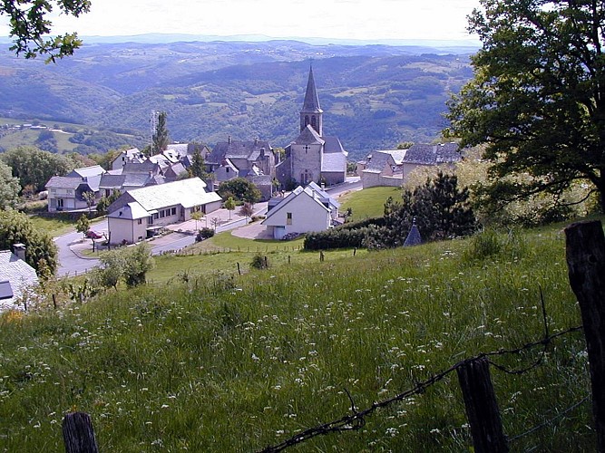
12140 Golinhac
Altimetric profile
Data author
