Description
Map
Ratings and reviews
See around
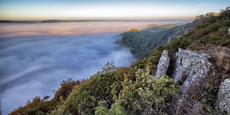
Rochers de la Houle
Credit
: SNT
Description
The River Orne runs alongside the abrupt crags, dominated by a rock referred to as the Pain de Sucre (literally sugar bread), at the extremity of the La Houle rocks with which it forms the "Route des Crêtes" (the Crest Route).
Technical information
Updated at : 05/04/2024
Lat : 48.9303914Lng : -0.4698872
Altimetric profile
Additional information
Author
Conseil Départemental du Calvados
Contact
E-mail : milieux_naturels@calvados.fr
Telephone : 02 31 79 70 45
360 visit
Visite virtuelle des Rochers de la Houle :
goo.gl/maps/iuuno4yabnspdejca
Data author

proposed by
Calvados Departement
Caen France
Ratings and reviews
To see around