Alert

Alerts

To see around
See more
Open
Close
Show
Show
Show
Show
Show
Show
Show
Show
Show
Show
Show

Oups... It would appear that Cirkwi does not have permission to use your location.

Description
Map
Ratings and reviews
See around

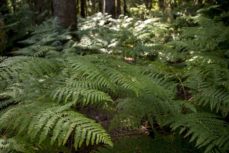
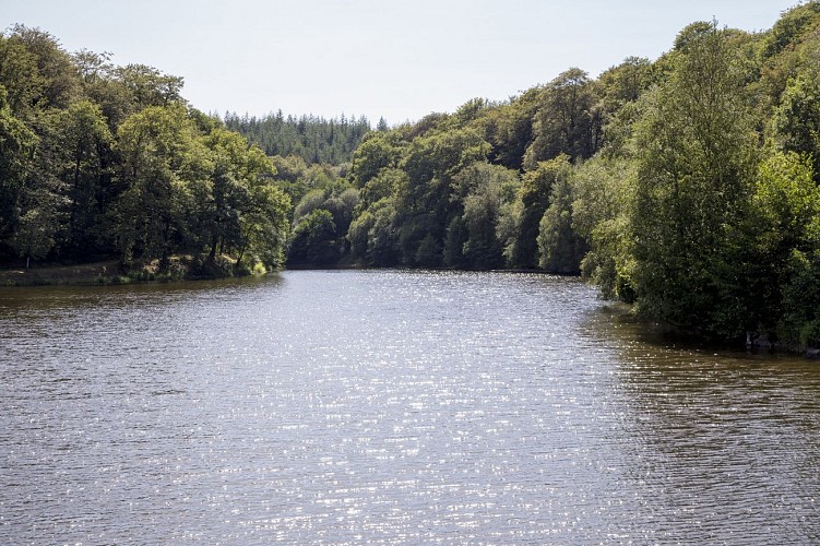
Forêt Domaniale de Saint-Sever-Calvados
20200805_OT_PaysdeVire_LMACH_Forêt_Saint-Sever-1
20200805_OT_PaysdeVire_LMACH_Forêt_Saint-Sever-21
20200805_OT_PaysdeVire_LMACH_Forêt_Saint-Sever-18
20200805_OT_PaysdeVire_LMACH_Forêt_Saint-Sever-16
20200805_OT_PaysdeVire_LMACH_Forêt_Saint-Sever-12
20200805_OT_PaysdeVire_LMACH_Forêt_Saint-Sever-6
20200805_OT_PaysdeVire_LMACH_Forêt_Saint-Sever-3

Description

1,500 ha of hardwoods (beech and oak) and softwoods (Pectinated fir and Douglas fir). Hiking, horse-riding and mountain-biking trails. Etang du Vieux Château, Etang de Coulanges: fishing. Nature discovery trail (18 stations). Departure point: Ermitage chapel (18th century, former convent now occupied by Carmelite nuns). Arboretum. 11th-century motte féodale (listed monument). Bird sanctuary: Lac du Gast (Groupe Ornithologique Normand). Orienteering and fitness trail at the Vierge à la Vilaine crossroads.

Technical Information

Lat, Lng
48.8087544-1.055863
Coordinates copied
Point of Interest updated on 09/07/2026

Altimetric profile

Additional information

Labels

NORMANDIE

Data producer

This information is provided by OT du Pays de Vire | Collines de Normandie

Contact

Tel : 02 33 30 42 13
Email : dt.seine-nord@onf.fr

Rates

Free for everyone

Ratings and reviews

To see around
See more
Open
Close
Show
Show
Show
Show
Show
Show
Show
Show
Show
Show
Show
Caution!
We have no information on the difficulty of this circuit. You may encounter some surprises along the way. Before you go, please feel free to inquire more and take all necessary precautions. Have a good trip! 🌳🥾