Description
Map
Ratings and reviews
See around
From Cap de Lourbu to the Gave de Aspe
Description
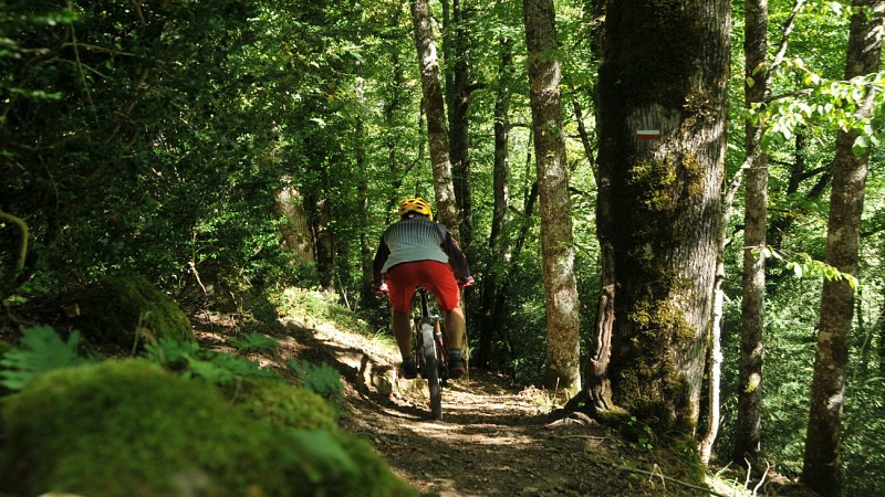
At the Cap de Lourbu curve, and under the house, turn right onto a narrow path between the boxwoods. It describes a technical passage under a power line (bike on the shoulder in a rocky area) and then you will need the electric assistance for some climbs. Exit to a path; continue to the left for 50 m until a sharp bend, then go up to the right 80 m along a new path. Leave it at the first bend and go straight to the edge of the forest, where you have to fork completely to the left into a single lane in the grass. Find the track, follow it for 250 m, and then take a new path to the right in the forest that descends to the Gave d'Aspe (red and white markings).
Technical Information
Lat, Lng
42.86962-0.55773
Coordinates copied
Altitude
-99999 m
Uncertain state
Point of Interest updated on 01/01/1970
This point of interest hasn't been updated recently, which could compromise the reliability of this information. We recommend that you inquire and take all necessary precautions. If you're the author, please verify your information.
Altimetric profile
Data author

proposed by
Communauté de Communes du Haut-Béarn
12 place Jaca 64400 Oloron-Sainte-Marie Cedex France
Ratings and reviews
To see around