Description
Map
Ratings and reviews
See around
Alternative Route
Credit
: Stavelot Tourisme
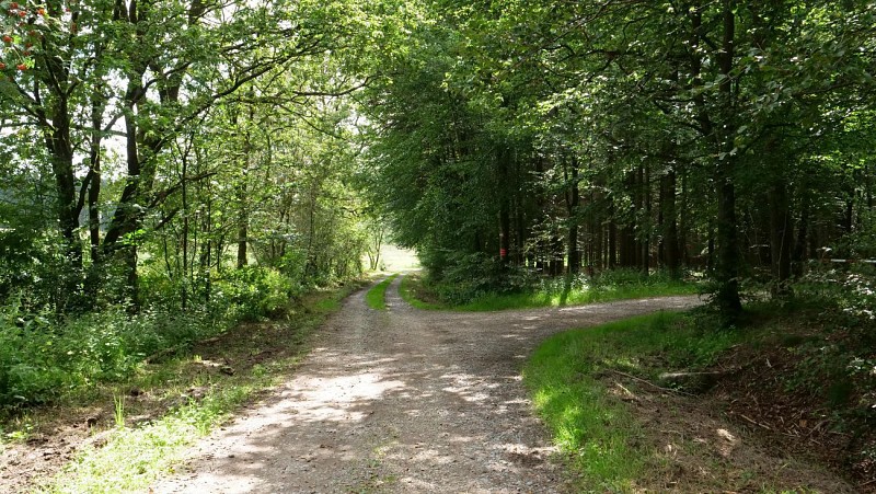
Description
Please note that some walking maps indicate that the route turns to the right at the crossroads. The walk is then shortened by 800 metres.
Technical information
Updated at : 29/11/2023
Au bout du Mont
4970 Stavelot
4970 Stavelot
Lat : 50.44385Lng : 5.94815
537 m
Altimetric profile
Data author

proposed by
Spa Hautes-Fagnes Ardennes
Ratings and reviews
To see around