Alert
Alerts
Description
Map
Ratings and reviews
See around
Terril Sainte-Eugénie (Tamines)
Credit
: MT Sambre-Orneau
Description
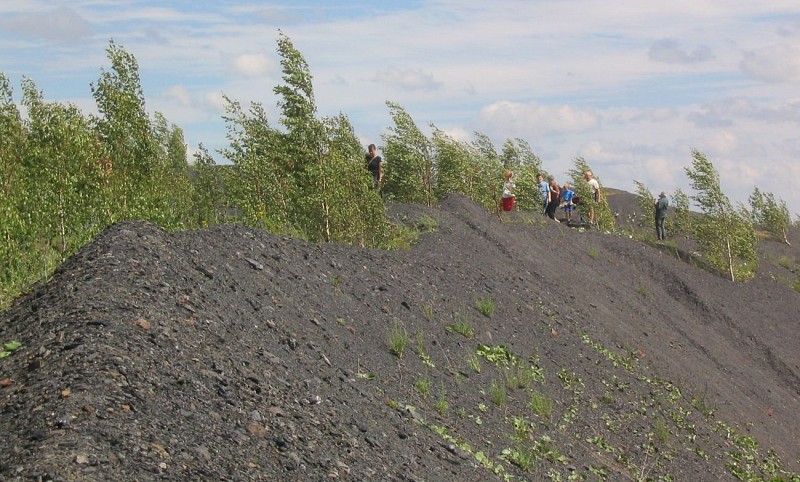
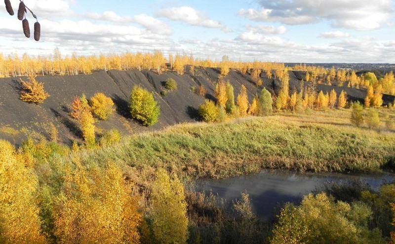
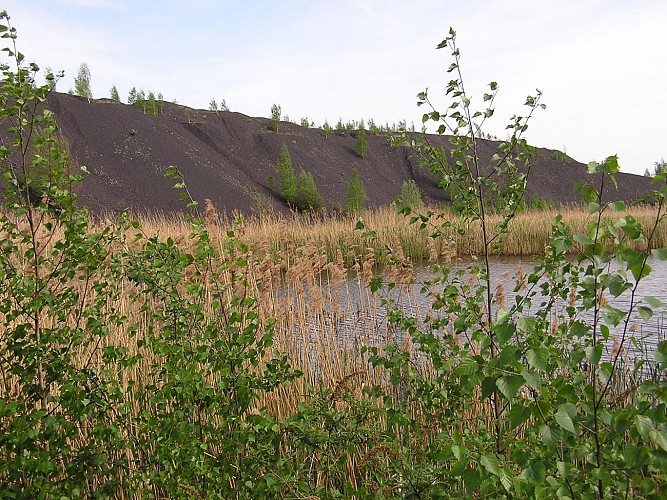
Located in Basse Sambre, north of Tamines and near the GR 142 hiking trail, this spoil heap was built between 1880 and 1965 as part of the Sainte-Eugénie coal mine's operations. It was then reworked during the 1980s. While the coal mine site is currently undergoing industrial conversion, the spoil heap has been left to nature and the development of biodiversity. It currently appears as an irregular hill with little or no vegetation cover, except for its northern slope, which is occupied by a diverse forest stand.Site of Great Biological Interest (SGIB)!! Currently inaccessible!!
Technical Information
Lat, Lng
50.444794.59512
Coordinates copied
Altitude
121 m
Point of Interest updated on 13/12/2025
Altimetric profile
IGN cards


Data author

Ratings and reviews
To see around