Alert
Alerts
Village de Tamnies
Description
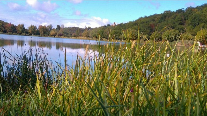
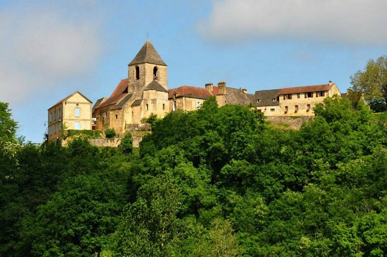
Tamniès is a picturesque village in the Black Perigord, located between Sarlat, Montignac (Lascaux caves) and Les Eyzies (world capital of Prehistory). Housed on a rock, the village of Tamniès dominates the Beune valley.
Formerly used as a watchtower, in the centre of the village is the old church dating from the 13th century
Outside the village, the commune of Tamniès has a very rich architectural heritage composed of bories and other typical constructions of the Black Perigord, in particular the church of the old priory with its roof of lauzes, registered in the inventory of the Historical Monuments.
In the centre of the square, there is a hollow tree which dates back more than two centuries. It is the Tree of Liberty, which was planted on 14 July 1790 in every commune in France to celebrate the first anniversary of the French Revolution.
Technical Information
Altimetric profile
Additional information
Contact
Fixed telephone : +33 5 53 29 68 95
e-mail : mairie.tamnies@wanadoo.fr
Web site (URL) : www.tamnies.fr
Telefax / fax : +33 5 53 29 68 68
Typologie de site
Town, village and district
Classement
Unlisted
Equipements
Picnic area
Bar cafeteria tea room
Restaurant
Infos sur la visite
Conditions de visite : Unaccompanied tours
Data author
