Alert
Alerts
Description
Map
Ratings and reviews
See around
Port Boinot

Credit
: © s.d. Fonds André Texier - Ville de Niort
Description
Le premier port de Niort se situait à la place de l’actuelle rue Brisson. A partir de 1377, il est déplacé pour être agrandi grâce au duc Jean de Berry, qui gère le Poitou. Ce deuxième port est implanté entre les rues actuelles du Fort Foucault, du port et le boulevard Main. Grâce à des bateaux à fonds plats, les gabarres, passagers et marchandises (blé, draps) rejoignent La Rochelle, pour partir vers de lointaines destinations comme la Nouvelle-France.
Technical Information
Lat, Lng
46.32484-0.46849
Coordinates copied
Point of Interest updated on 27/08/2025
Altimetric profile
IGN cards
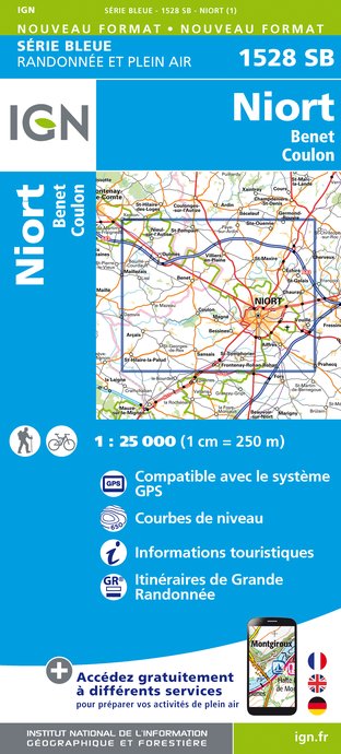
1528SB - NIORT BENET COULON
Editor : IGN
Collection : TOP 25 ET SÉRIE BLEUE
Scale : 1:25 000
13.90€

138 LA ROCHELLE COGNAC ILE DE RÉ ET ILE D'OLÉRON
Editor : IGN
Collection : TOP 100
Scale : 1:100 000
8.40€

132 CHOLET NIORT MARAIS POITEVIN
Editor : IGN
Collection : TOP 100
Scale : 1:100 000
8.40€

D85 VENDÉE
Editor : IGN
Collection : CARTES DÉPARTEMENTALES IGN
Scale : 1:150 000
5.90€

D79-86 DEUX-SÈVRES VIENNE
Editor : IGN
Collection : CARTES DÉPARTEMENTALES IGN
Scale : 1:150 000
5.90€
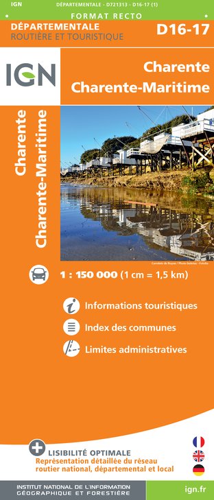
D16-17 CHARENTE CHARENTE-MARITIME
Editor : IGN
Collection : CARTES DÉPARTEMENTALES IGN
Scale : 1:150 000
5.90€

NR07 PAYS DE LA LOIRE
Editor : IGN
Collection : CARTES RÉGIONALES IGN
Scale : 1:250 000
6.80€

801 FRANCE NORD OUEST
Editor : IGN
Collection : CARTES NATIONALES IGN
Scale : 1:320 000
6.10€

EUROPE
Editor : IGN
Collection : DÉCOUVERTE DES PAYS DU MONDE IGN
Scale : 1:2 500 000
7.00€
Data author

proposed by
OT Niort
79000 France
Ratings and reviews
To see around