Alert
Alerts
Description
Map
Ratings and reviews
See around
Le chemin de halage (3,4 km)

Credit
: B. Valcke
Description
De chaque côté de la rivière, l'itinéraire emprunte d'anciens chemins de halage, qui servirent notamment à transporter les blocs d'une carrière de gypse située plus en amont. Remarquez les bornes kilométriques qui jalonnent le chemin et les différentes essences d'arbres : frênes, platanes, aulnes, saules pleureurs ou eucalyptus.
Technical Information
Lat, Lng
43.4937174-1.3203044
Coordinates copied
Point of Interest updated on 12/11/2025
Altimetric profile
IGN cards

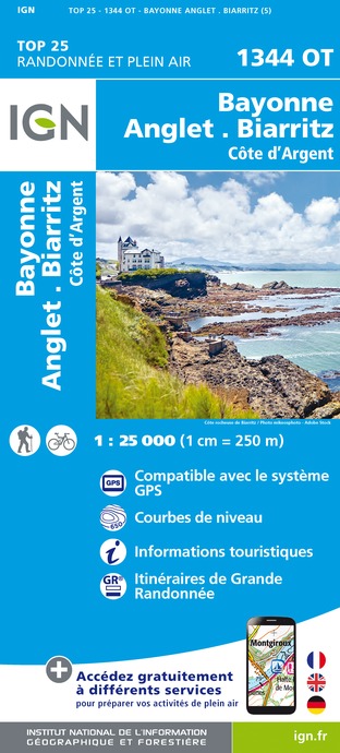
1344OT - BAYONNE ANGLET BIARRITZ COTE D'ARGENT
Editor : IGN
Collection : TOP 25 ET SÉRIE BLEUE
Scale : 1:25 000
13.90€

TOP75023 - PAYS BASQUE
Editor : IGN
Collection : TOP 75
Scale : 1:75 000
9.80€

166 DAX BAYONNE PAYS BASQUE
Editor : IGN
Collection : TOP 100
Scale : 1:100 000
8.40€

TOP100D64 - PYRÉNÉES-ATLANTIQUES PAU BAYONNE BIARRITZ PAYS BASQUE BÉARN
Editor : IGN
Collection : TOP 100
Scale : 1:100 000
8.40€

D40 LANDES
Editor : IGN
Collection : CARTES DÉPARTEMENTALES IGN
Scale : 1:150 000
5.90€

D64 PYRÉNÉES-ATLANTIQUES
Editor : IGN
Collection : CARTES DÉPARTEMENTALES IGN
Scale : 1:150 000
5.90€

NR10 NOUVELLE-AQUITAINE RECTO /VERSO LIMOUSIN POITOU
Editor : IGN
Collection : CARTES RÉGIONALES IGN
Scale : 1:250 000
6.80€

NR11 NOUVELLE-AQUITAINE RECTO/VERSO BASSIN AQUITAIN
Editor : IGN
Collection : CARTES RÉGIONALES IGN
Scale : 1:250 000
6.80€

EUROPE
Editor : IGN
Collection : DÉCOUVERTE DES PAYS DU MONDE IGN
Scale : 1:2 500 000
7.00€
Data author

proposed by
Office de Tourisme Pays Basque
64502 France
Ratings and reviews
To see around