Alert
Alerts
Description
Map
Ratings and reviews
See around
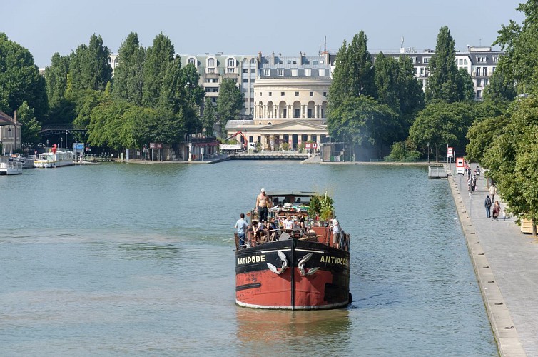
Bassin de la Villette
Description
Le bassin de la Villette est le plus grand plan d'eau artificiel de Paris. Il a été mis en eaux le 2 décembre 1808. Situé dans le 19e arrondissement de la capitale, il relie le canal de l'Ourcq au canal Saint-Martin et constitue l'un des éléments du réseau des canaux parisiens.
Technical Information
Lat, Lng
48.88542.37199
Coordinates copied
Uncertain state
Point of Interest updated on 03/08/2015
This point of interest hasn't been updated recently, which could compromise the reliability of this information. We recommend that you inquire and take all necessary precautions. If you're the author, please verify your information.
Altimetric profile
Data author

proposed by
Neovelo
Ratings and reviews
To see around