Alert
Alerts
Description
Map
Ratings and reviews
See around
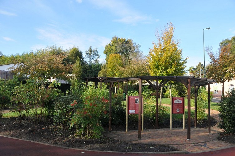
Argelos
Credit
: ©adt64
Description
Faire encore 150 m sur la route principale (route du Luy) puis, entre les maisons, bien repérer sur la gauche la côte de Ninon, que l'on descend. En bas, longer une voie goudronnée vers la droite. Elle retrouve la D357 (croix) : marcher vers la gauche. Dans le premier virage, un panneau rappelle l'implantation historique d'une bastide en ce lieu. Au carrefour en T suivant, garder la D349 vers la gauche (pont sur le Luy et aire de pique-nique). 200 m après, au Y, ignorer à gauche la route de Poudenx pour suivre à droite la D376 vers Argelos. Elle monte sur la colline en deux lacets puis, au carrefour de la croix en métal, prolonger à droite vers le centre du village ; passer entre les maisons.
Technical Information
Lat, Lng
43.613112-0.610506
Coordinates copied
Uncertain state
Point of Interest updated on 01/01/1970
This point of interest hasn't been updated recently, which could compromise the reliability of this information. We recommend that you inquire and take all necessary precautions. If you're the author, please verify your information.
Altimetric profile
Data author

Ratings and reviews
To see around