Alert
Alerts
Description
Map
Ratings and reviews
See around
Le refuge
Credit
: ©
Description
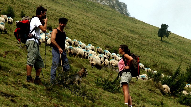
Piquer à droite pour descendre vers le refuge. Longer le ruisseau. Au refuge, traverser le ruisseau et suivre le sentier. Bien repérer et suivre les marques au sol sur rochers ou sur jalons. Longer l’estive à flanc de coteau jusqu’aux premières habitations. À la première maison (petite grange de ferme) descendre à droite pour traverser un ruisseau sur un pont en béton. Prendre la piste et la suivre pour aboutir sur une petite route goudronnée. La suivre jusqu’au premier lacet.
Technical Information
Lat, Lng
42.954954-0.270435
Coordinates copied
Uncertain state
Point of Interest updated on 01/01/1970
This point of interest hasn't been updated recently, which could compromise the reliability of this information. We recommend that you inquire and take all necessary precautions. If you're the author, please verify your information.
Altimetric profile
Data author

proposed by
OT Vallée d'Ossau Pyrénées
64440 France
Ratings and reviews
To see around