Alert
Alerts
Description
Map
Ratings and reviews
See around
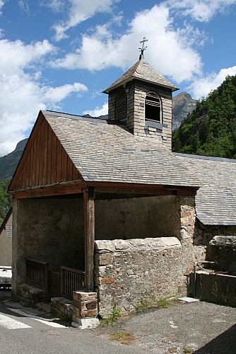
Gabas
Credit
: © OT Laruns
Description
Au niveau du barrage suivre la D231 pendant 10 minutes puis emprunter à droite le sentier qui descend à travers le versant pour rejoindre la route bitumée au niveau d’un parking. Le GR®10 se poursuit sur cette route bitumée jusqu’au carrefour de la RD934.
Technical Information
Lat, Lng
42.86894-0.448185
Coordinates copied
Uncertain state
Point of Interest updated on 01/01/1970
This point of interest hasn't been updated recently, which could compromise the reliability of this information. We recommend that you inquire and take all necessary precautions. If you're the author, please verify your information.
Altimetric profile
Data author

proposed by
Communauté de Communes du Haut-Béarn
12 place Jaca 64400 Oloron-Sainte-Marie Cedex France
Ratings and reviews
To see around